1. The AONB's Coastal Creatures Project compiled four beach profiles - Combe Martin, Lee Bay, Croyde and Westward Ho! - and surveyed them during the course of the project. Click below to download a PDF :-
2. Coastwise members have over the past few years assembled more informal profiles on a wider range of beaches.
These are intended to give a quick overview – then look through the Profile for the beaches you’re interested in. They aim to give a detailed picture of the natural features and facilities that the beach offers, and encourage you to visit places that you might not otherwise have thought of.
The links below will open as PDFs in a new window. If you experience problems trying to open the PDFs, please email web support.
To save a PDF to your computer, right click the link, choose 'Save Target As...' and save to your computer.
Some of PDFs are quite large because of the pictures and detail contained within, as such, they may take a moment to load and save.
-
Bucks Mills
Bucks Mills lies within the protection of Hartland Point, mid way between Clovelly to the west and Westward Ho! to the east. It faces north into Bideford Bay with views of Lundy ahead. The village lies along a steep valley ending abruptly at the coast. Visitors are welcomed with a free car park from which there are several walks including the one shown below from a leaflet produced by the North Devon Area of Outstanding Natural Beauty.
-
Croyde Bay
Situated between Saunton Sands and Woolacombe/Putsborough Sands. West-facing sandy beach, backed by dunes and with the rocky headlands of Downend and Baggy Point to the South and North respectively. The rocky shore is excellent for wildlife and includes features such as Sabellaria (fan-worm) reefs, sea hares and sea anemones (including some rare species). Cowrie shells can be found in sandy gullies with careful hunting. One of the best beaches in the UK for experienced surfers, but occasional rip currents - not ideal for learners. Lifeguards present during main season. Good parking and toilets. Seasonal refreshments by main beach entrance and year-round in village.
-
Instow
This is a seaside village beach with a quiet promenade, level sands, grassy dunes and sheltered water. It is well used but never crowded. In summer it is a splendid place for children to play on the dunes or on the beach. In winter it is a regular walking place for dogs and their owners. The beach faces west onto the Taw/ Torridge estuary, opposite its passage to the sea. It is a very sheltered location, with level soft sands shelving shallowly. There are some areas of rock and stone to the north. Some dunes lie beyond the esplanade. There are lovely views across the estuary to the fishing village of Appledore.
-
Saunton
As a place of nature the beach is second to none, with fascinating geology and shore life along the rocky shore, and an internationally renowned dune system as the back-drop to the spectacular sandy shore. There are 3 miles of golden sands with safe swimming and good surf makes it a very popular beach with holiday makers and surf enthusiasts with all the facilities you would expect, though without lifeguards. Survey updated in Summer 2009.
-
Tunnels Beach
Tunnels has a middle and lower shore that is full of rock pools teeming with life. The beach complex is attractive, rich in historical interest, is very family-friendly with an attractive café/children’s play area, lifeguards and good loos, and is run as a commercial enterprise. It is accessible from the heart of Ilfracombe, and there is an entrance charge.The beach was re-surveyed in July 2009 and 2010 and, with the help of a knowledgeable group of Coastwise members and a low tide, many additional species were noted and added to the list in the Beach Profile. A separate spreadsheet including the additional finds has now been prepared. You can see pictures of some of the finds in the Tunnels item listed in the the News & Events menu.
A few days after the 2009 visit the beach and its history featured in the BBC2 "Coast" series !
-
Combe Martin
Combe Martin derives its name from ‘combe’ – a wooded valley, and from the Norman family ‘Martin’ (Martin of Tours) who, some believe, was given this manor by William the Conqueror. This large seaside village grew up as a prosperous harbour exporting locally grown strawberries and hemp, which grew well in the mild climate. The area also contained precious metals, including silver, so mining became a flourishing industry by the seventeenth century. The beach has extensive sandy and rocky areas depending on the state of the tide, and is clean most of the time, making it generally suitable for families and marine nature enthusiasts.
-
Golden Bay
Golden Cove and the adjacent beach to the East, Sandy Bay, are sheltered coves on the North Devon Coast, in the parish of Berrynarbor, approximately 1 mile West of the town of Combe Martin.
The beach is of firm brownish grey sand, sloping gradually to coarser slaty shingle. It is backed by steep wooded cliffs some 200 feet in height. Approximately 230 steps provide access down these cliffs to the beach. The steps start from a clearing in the narrow clifftop wood which is a National Trust property, also named Golden Cove. -
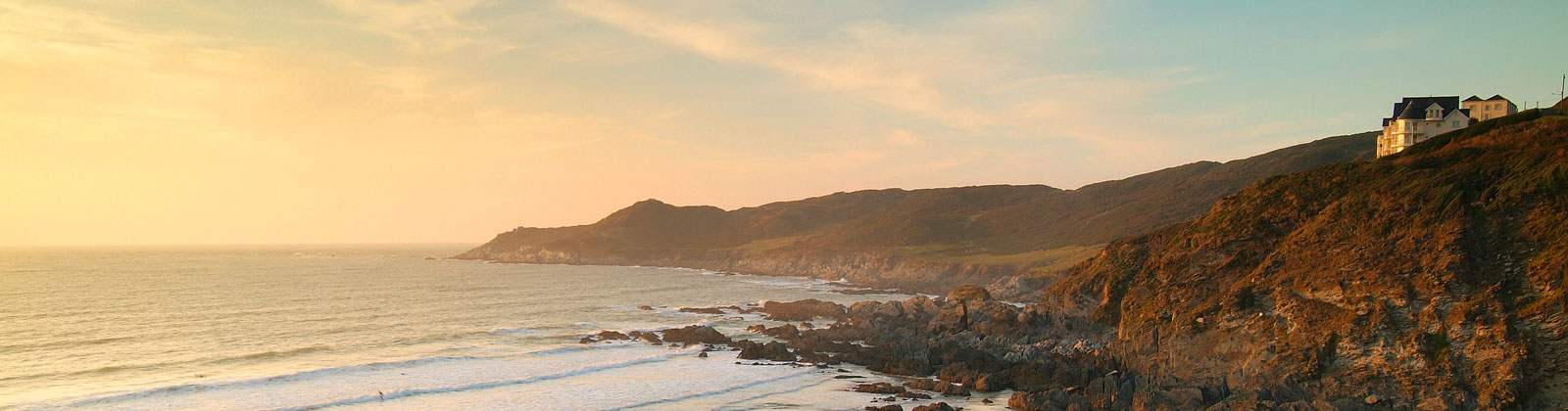
Lee Bay
Lee Bay lies on the North Devon coast between Ilfracombe and Woolacombe. The bay faces North and is therefore sheltered to some degree from the worst effects of Atlantic weather, and is subject to the large tidal differences of the Bristol Channel.It is reached past the village of Lincombe, via a narrow wooded valley. On arriving at the village the visitor will find a small car park near the Church, before a fork in the road.To the left is The Grampus, the village Public House. This road ends in a footpath which, crossing a footbridge, leads to the bay.
From the road, steps lead down to the beach. This has a gentle slope and is divided by ridges of rock which form gullies and rock pools. Down the centre of the beach a concrete channel carries the fresh water of the valley streams down to the sea.
The survey has been updated in 2009, and the updated species list is available by clicking here.
-
Barricane
Barricane Beach is situated between Woolacombe and Mortehoe (a stone built village dating back to the Domesday Book). Woolacombe is a seaside resort on the coast of North Devon, which lies at the mouth of the valley (or ‘combe’). It is a popular location for surfing attracting thousands of people each year. The rolling surf brings unbroken Atlantic breakers from across thousands of miles of ocean to pound on this three mile long stretch of golden sand. There are many establishments offering tuition and equipment hire in addition to many hotels/holiday apartments bed & breakfast amenities.
Barricane is a sheltered west facing cove full of nooks and crannies with numerous rock pools, gullies and stones with views across the Bristol Channel and on a clear day Lundy Island .can be seen. It is exposed to the strong Atlantic winds and waves which, following stormy weather, brings an abundance of marine life within its shores. -
Coombesgate
Coombesgate Beach is situated between Woolacombe (as mentioned above) and Mortehoe (a stone built village dating back to the Domesday Book).
Coombesgate, like Barricane is a semi-sheltered west facing cove with numerous rock pools and gullies with views across the Bristol Channel, but may be exposed to the strong Atlantic winds and waves which bring an abundance of marine life to its shores.
-
Grunta
Grunta Beach is a small cove situated to the south of the village of Mortehoe and the ever famous landmark of Morte Point.
It is a west facing cove which is truly exposed to the strong Atlantic winds making it a rugged area.Mortehoe is steeped in history with the Anglican Church dating back to the 13th Century. The bell tower and carved pews and the “de Tracy” tomb are medieval. Morte Point is the site of many shipwrecks one of which, a ship carrying a cargo of live pigs, ran aground. The pigs ran ashore grunting, and hence the name Grunta (Hmmmm - dubious ! Sounds more Scandinavian in origin).
Because of the dramatic landscape and forbidding weather conditions, Morte Point has been referred to by the local people as “the place God made last and the Devil will take first”. In former years Mortehoe was reputedly the haunt of smugglers and wreckers but in later years became more of a farming community.
-
The Skern
The Skern is a north east facing horseshoe shaped bay situated on the northern side of Northam Burrows Country Park on the mouth of the River Torridge. Northam Burrows, lies within an Area of Outstanding Natural Beauty and has been designated SSSI status. It is a bay for birdwatching, walking or just enjoying the moment, and there are extensive views of the Torridge and Taw estuaries, sand bars and Crow Point which do wonders for the spirit especially on a clear day.The Skern is accessed by the northern Northam Burrows Toll Road (payment required during late spring to earlier autumn) which has a small car park at its northern end as well as parking along the side of the road. From the car park a path continues round onto the north and west facing sides of Northam Burrows and eventually takes the walker to the Burrows Information Centre. The centre is open from the end of May to early September and the toilet facilities from Easter to the end of October.
-
Rockham
Rockham is natural, rugged and wild….free from madding crowds with nought but the call of the gulls and the song of the sea. The beach is a mixture of sand / pebbles and rocks and is a great location for family picnics and rock-pooling. However, visits require a quite difficult walk of approx 2 kms along the coast path down to the sea and descent of a steep flight of about 100 steps.